
Image not available

Trading companies
N9 Single-Camera Pocket GNSS Receiver
<p>Newdi N9 – Efficient, Tough, Accurate, and Instantly Visible.</p><p><br clear="all" style="page-break-before:always;mso-break-type:section-break"/></p>
SupplierShanghai Newdi Navigation Technology Co.,Ltdwww.nctnav.com
Source categories
About this product
Product information from the supplier.
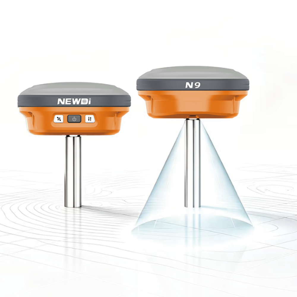
N9 AR Stakeout – See it, walk it, stake it.
The AR Stakeout function on the Newdi N9 combines high-precision GNSS positioning with live imagery from a single downward-facing camera. The target point overlaid as an augmented-reality icon directly on the controller's live view. Simply follow the on-screen directional arrow and distance readout to walk straight to the point – what you see is where you need to be.
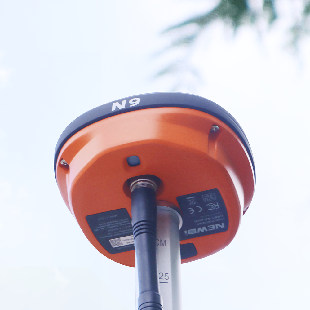
Key Advantages for the Field
·Intuitive & fast– Zero learning curve, double the speed
·Pinpoint accuracy– Direction and distance at a glance
·Rugged & reliable– IP68 rated, works in extreme weather
·Ultra-light & compact– Only 475 g, palm-sized (115×56 mm), one-hand operation
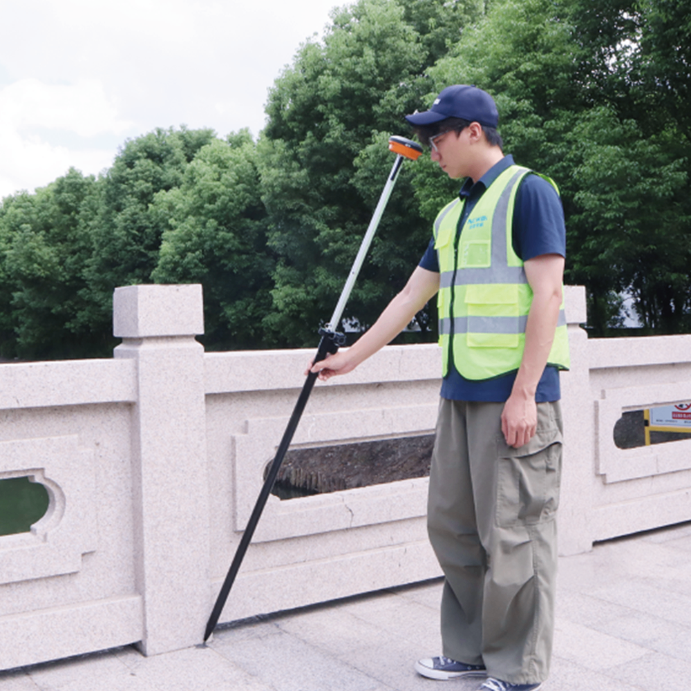
N9 Tilt Measurement – Off-level, still on-point
Tilt up to ±60° with 2 cm accuracy – no compromise
The N9 integrates a high-precision IMU module that supports tilt surveying – no precise centering required. Perfect for collecting accurate data on slopes, ditches, and rugged terrain. Also ideal for measuring manholes, fire hydrants, and roadside infrastructure where vertical pole placement is difficult or unsafe – keeping you safer and more productive in the field.
·Wide tilt range – Supports ±60° tilt, ideal for corners, trenches, and tight spots.
·High-precision tilt – Achieves 2 cm accuracy, reliable data even at extreme angles.
·No more leveling – Just point and measure, no centering needed – drastically faster.
Performance Specification
GNSS Performance
Channels: 1408
BDS: B1I、B2I、B3I、B1C、B2a、B2b
GPS: L1 C/A、L1C、L2P (Y)、L2C、L5
GLONSS: G1、G2、G3
Galileo: E1、E5a、E5b、E6
QZSS: L1/L2/L5
NavIC: L5
SBAS: WAAS, GAGAN, MSAS, EGNOS, SDCM, BDS, HAS
Update Rate: 20 Hz
Real time kinematic (RTK): H:±(8+1×10⁻⁶D)mm
V:±(15+1×10⁻⁶D)mm
PPP: Support PPP-B2b, E6B-HAS
Static and rapid static: H:±(2.5+0.5×10⁻⁶D)mm
V:±(5+0.5×10⁻⁶D)mm
Code differential: H:0.4 mV:0.8 m
SBAS: H:0.8 mV:0.8 m
Data storage
Storage Capacity: 8G
Differential Format: RTCM 3.x
Cameras
Bottom Stakeout Camera
Resolution: 2MP
FOV: 88°
Port
TNC : Radio Antenna Port
Type-C: Charging & Data
Communication
Bluetooth: Bluetooth 5.0 with EDR and Backward Compatibility; BLE
WIFI: 802.11 a/ac/b/g/n
Radio: Only RX Frequency Range: 410MHz – 470MHz
Protocol:
TRIMTALK、TRIMMK3、SOUTH、TRANSEOT、GEOTALK、GEOMK3、SATEL、HITARGET、HZSZ、PCCEOT,PCCEOT_SATEL,PCCFST,PCCFST_ADL,SATEL_ADL
Specifications
Input: Type C
Operating Time: ·Operating Time: Up to 10 hours
Conditions: With Mobile Station (Network mode), and AR all enabled
Physical Characteristics
Weight: 475g
Dimensions: 115 × 56 mm
Environmental Characteristics
Operating Temperature: –30 °C to +60 °C
Storage Temperature: –40 °C to +80 °C
Ingress Protection Rating: IP68
Humidity: 99 %
Drop Resistance: Survive a 2-meter pole-drop
More from this supplier
Shanghai Newdi Navigation Technology Co.,Ltd


